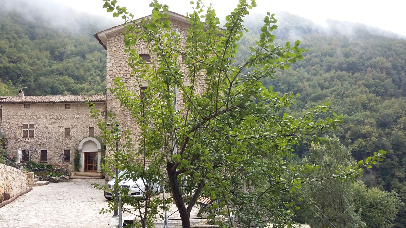
The mapping of the first part of St. Benedict Way was accomplished on 24th of September. Over 270 km were covered in 14 days, from Rieti to Cassino; nearly 2000 points of interest were geolocalized and surveyed along the 40 municipalities on the route. In 160 accomodations and facilities a first evaluation of accessibility and services available were performed.
After processing the data gathered, the results of the first stage will be shared with all local stakeholders to plan the next steps of the project.

